404
Oops!, that page can’t be found.
There are other options that might interest you below
Oops!, that page can’t be found.
There are other options that might interest you below
Search Results
Differences between CAD and GIS
Differences between CAD and GIS Computer-aided Design models things in the real world. Geographic Information System models the world itself. GIS uses geographic coordinates systems and world map projections while CAD coordinates are relative to the object being...
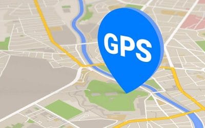
The concept behind Global Positioning System
The concept behind Global Positioning System The system is a global navigation satellite system that provides location, velocity and time synchronization. GPS is everywhere . You can find GPS systems in your car, your smartphone and your watch. GPS helps you get where...

Women Pioneers of the Geospatial industry
Women Pioneers of the Geospatial industry Women are known for living for others, and it is the high emotional intelligence quotient that makes them rock as leaders! Being an integral part of the geospatial industry, still on the celebration of women’s day, we could...
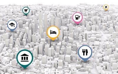
What is Geocoding?
Geocoding is the process of transforming a description of a location such as a pair of coordinates, an address, or a name of a place—to a location on the earth's surface. You can geocode by entering one location description at a time or by providing many of them at...

Geoprocessing tools every GIS analyst should know.
To know how GIS works one needs to know how the below tools work. When you learn these 7 geoprocessing tools, you develop a good baseline of GIS skills. On top of that, you are one step closer to becoming a GIS guru. But in reality, there are thousands of...
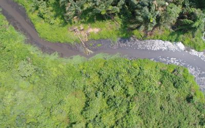
Geospatial technology and Remote Sensing in Ecology.
Geo-information technologies are valuable tools for ecological assessment in stressed environments. Every facet of energy exploration, recovery, storage processing, and distribution carries some risks associated with environmental impacts. But sometimes these risks...

How To Increase performance on ArcMap
How To Increase performance on ArcMap Increasing performance to make ArcMap start and run faster ArcMap takes a long time to start and has poor performance. There are several system settings, hardware upgrades, and maintenance routines that need to be performed to...
Mining Exploration and Remote Sensing Imagery
Mining is at the forefront of the global economy and often an indicator of its health. Population growth and urbanisation in emerging markets, coupled with current requirements in the developed world. International Council on Mining & Metals, which has also found...

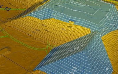
GIS IN CADASTRAL MAPPING
Introduction GIS in Cadastral Mapping A cadastral map is a map that provides detailed information about real property within a specific area. Cadastral mapping services also enable to user to study additional details, such as survey district names, unique identifying...
CONTACT US