404
Oops!, that page can’t be found.
There are other options that might interest you below
Oops!, that page can’t be found.
There are other options that might interest you below
Search Results

How GIS Location Sharing App Helped Find A Missing Child
HOW GIS LOCATION SHARING APP HELPED FIND A MISSING CHILD How GIS Location Sharing App Helped Find A Missing Child March 2020, 4-year-old Evelyn “Vardie” Sides vanished in the County area of the rural Alabama woods. Authorities said she had been...

How GIS Helps in Urban Planning
HOW GIS HELPS IN URBAN PLANNING How GIS Helps in Urban Planning GIS is an amazing technological tool that empowers urban planners with enhanced visibility into data. GIS tools help monitor fluctuations over time, gauge the feasibility of proposed...

GIS and Remote Sensing
GIS AND REMOTE SENSING GIS and Remote Sensing A geographic information system GIS is a computer system for capturing, storing, checking, and displaying data related to positions on Earth's surface. It is a computer-based system used to capture, store,...

These Five Factors Distinguish 3d Maps From Regular Maps
THESE FIVE FACTORS DISTINGUISH 3D MAPS FROM REGULAR MAPS These Five Factors Distinguish 3d Maps From Regular Maps Three dimensional maps also called 3D maps are digital, defined, virtual representation of components of the earth surface, objects and phenomena in...

Variances Among Topographic Maps And Regular Maps
VARIANCES AMONG TOPOGRAPHIC MAPS AND REGULAR MAPS Variances Among Topographic Maps And Regular Maps Maps are symbolic diagrams representing selected characteristics or physical features of any place like cities, roads, streets, buildings, lakes etc. It is usually...

GIS And The Insurance Sector
GIS AND THE INSURANCE SECTOR Geographic Information Systems, GIS is a tool for collecting, organizing, managing, manipulating, analyzing, storing, and presenting many types of spatial data. GIS uses location-based information to...
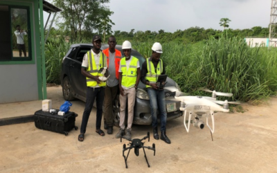
Five Reasons to Choose Aerial Surveying
FIVE REASONS TO CHOOSE AERIAL SURVEYING Aerial Survey is a form of collecting geographical information using airborne vehicles. The collection of information can be made using different technologies such as aerial photography, remote sensing imagery, helicopters,...

GIS Application in Health Sector
GIS APPLICATION IN HEALTH SECTOR GIS Application in Health Sector Health and well-being are important for optimal performance. The medical field is an integral one as it offers many life-changing options. It is one field requiring constant research to find reasons for...

Differences Between Surveying And Surveillance In The Geospatial Field
Differences Between Surveying And Surveillance In The Geospatial Field Differences Between Surveying And Surveillance In The Geospatial Field The terms, survey, and surveillance are misinterpreted to mean the same. In actual fact, the only sound alike and have...
CONTACT US