404
Oops!, that page can’t be found.
There are other options that might interest you below
Oops!, that page can’t be found.
There are other options that might interest you below
Search Results
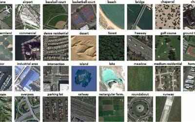
How to Perform Satellite Image Classification in ArcGIS Pro
Satellite image classification is the process of analyzing satellite imagery to categorize different features on the Earth's surface, such as forests, urban areas, water bodies, or agricultural land, by assigning labels to individual pixels within the image,...
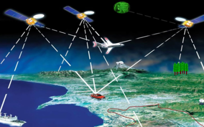
GIS vs. GPS: What’s the Difference?
GIS (Geographic Information System) and GPS (Global Positioning System) both deal with geography and location, they serve very different purposes. Let’s break down the key differences between GIS and GPS Features of GIS: Data Layers: GIS organizes data into layers,...
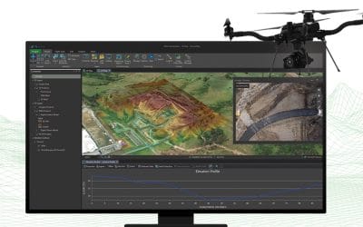
INTEGRATING DRONE DATA WITH ARCGIS PRO FOR PRECISION MAPPING
The integration of drone data with ArcGIS Pro has revolutionized precision mapping, offering unparalleled accuracy and efficiency in various industries. This powerful combination provides professionals with the tools to capture, process, and analyze geospatial data,...
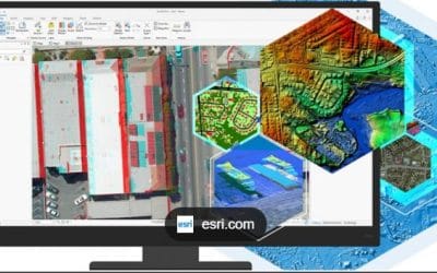
USING PROCESSING TOOLS FOR DATA ANALYSIS IN ARCGIS PRO
What is Geoprocessing? Geoprocessing is a framework and set of tools for processing geographic and related data. The comprehensive suite of geoprocessing tools can be used to perform spatial analysis or manage GIS data in an automated way What Are Geoprocessing Tools?...

Building Geospatial Applications: GIS in the Tech World
Geographic Information Systems (GIS) have evolved from being specialized tools for mapping and cartography into an essential technology across industries, particularly within the tech world. With the growing availability of high-quality geospatial data and the...
Targeted Marketing with GIS: Mapping Consumer Preferences
Geographic Information Systems (GIS) have revolutionized the way businesses approach marketing by providing a powerful tool for understanding consumer preferences and behavior. By combining geographic data with demographic, socioeconomic, and consumer behavior data,...
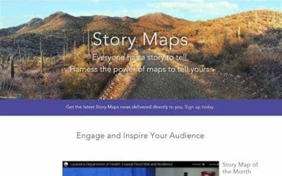
SHARING YOUR ARCGIS PROJECT ONLINE WITH ARCGIS STORY MAPS
In today’s world, storytelling has become a powerful way to communicate complex information in a compelling and relatable manner. For GIS professionals, ArcGIS Story Maps provides a perfect platform to share your geospatial projects with the world, combining maps,...
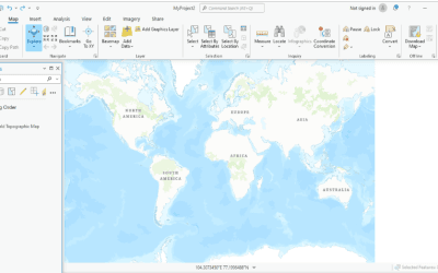
What’s New in ArcGIS Pro? Key Features You Need to Know
ArcGIS Pro has established itself as one of the leading platforms for geospatial analysis and visualization, offering powerful tools for professionals in various fields. With each update, Esri introduces enhancements that streamline workflows, improve performance, and...
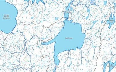
Applications of GIS in Hydrography
Geographic Information Systems (GIS) have become invaluable tools in bathymetry and hydrography, offering advanced techniques for mapping, analyzing, and managing water bodies. Bathymetry deals with the measurement of underwater depths, while hydrography involves...
CONTACT US