404
Oops!, that page can’t be found.
There are other options that might interest you below
Oops!, that page can’t be found.
There are other options that might interest you below
Search Results
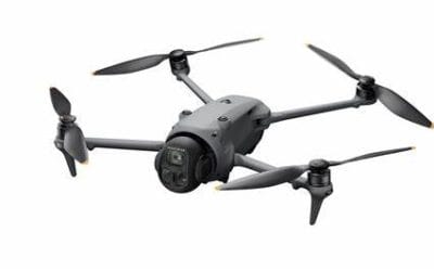
Mavic 4 Pro Fly More Combo DJI RC 2 Price in Nigeria
Mavic 4 Pro Fly More Combo DJI RC 2 Price in Nigeria (2025) Looking to buy the latest DJI Mavic 4 Pro Fly More Combo in Nigeria at the best price? Look no further than GeoInfoStore.com. Why Choose the Mavic 4 Pro? The DJI Mavic 4 Pro is a next-generation powerhouse...
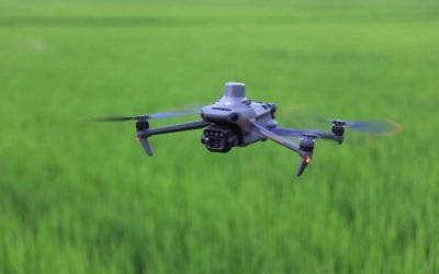
DJI Mavic 3 Multispectral Drone Price in Nigeria
DJI Mavic 3 Multispectral Drone Price in Nigeria (2025) Need an advanced agricultural or environmental drone for high-accuracy field analysis and multispectral imaging? The DJI Mavic 3 Multispectral is your go-to tool for precision agriculture, land monitoring, and...
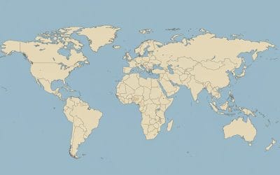
HOW TO CREATE A SIMPLE CHOROPLETH MAP IN ARCGIS PRO
A choropleth is a type of thematic map (i.e a map that focus on specific themes like population, climate or land use) that uses shading, coloring, or patterns to show the value of a variable across geographic areas such as countries, states, local government areas...
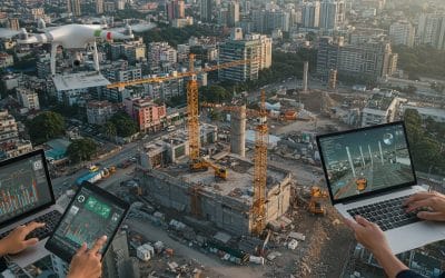
Building Smarter Cities: The Role of GIS and Drone Technology in Urban Planning in Nigeria
Nigeria is urbanizing at an unprecedented rate. With millions migrating to cities every year, the pressure on infrastructure, housing, transportation, and environmental resources is mounting. To manage this rapid growth effectively, planners and policymakers are...
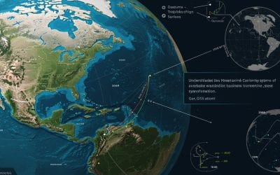
Understanding Coordinate Systems in GIS (ArcGIS Pro): A Beginner’s Guide (PART 2)
As referred in part 1 of understanding coordinate systems in GIS, the coordinates systems are divided into 2 parts : Geographic and Projected coordinate system. This part will visualise the practical aspect of choosing coordinates. There are several ways to choose a...
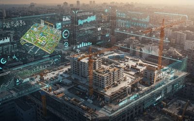
The Role of GIS in Modern Construction Planning and Project Management
In today’s fast-paced construction industry, where deadlines are tight and margins tighter, the success of a project hinges not only on engineering prowess but also on strategic planning. Enter Geographic Information Systems (GIS) a transformative technology that has...
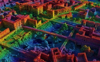
Exploring LiDAR and Point Cloud Data Processing: A Revolutionary Tool for 3D Mapping
As technology advances, the ability to create detailed and accurate 3D models of the environment is becoming increasingly important. One of the most powerful tools for achieving this is LiDAR (Light Detection and Ranging), a remote sensing technology that is...
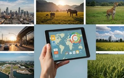
Beyond Google Maps: Surprising Uses of GIS in Daily Life
Public Health: Mapping to Save Lives When COVID hit, those online dashboards showing infection rates? Powered by GIS. Health experts use it to see where outbreaks happen, plan vaccine rollouts, and find areas in need of more clinics or ambulances. It’s like giving...
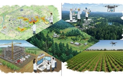
Is There Any Industry Left Untouched by GIS and Remote Sensing?
When we hear "GIS" (Geographic Information System) or "Remote Sensing," we often think of maps, satellites, and maybe weather forecasting. But what if I told you these powerful technologies are quietly transforming nearly every industry—far beyond what most people...
CONTACT US