404
Oops!, that page can’t be found.
There are other options that might interest you below
Oops!, that page can’t be found.
There are other options that might interest you below
Search Results
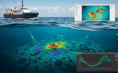
GIS in Bathymetric Surveys: Mapping the Hidden World Beneath Water
Digital Depth Model of a part of imo river in Akwa ibom State, Nigeria. In the vast world of geospatial science, hydrology and GIS come together to unlock underwater terrain, giving us access to data beneath oceans, rivers, and lakes. This fusion of technology is...
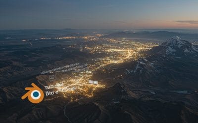
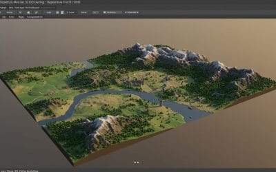
Advanced Workflows with Blender GIS for Geospatial Professionals
Integrating High-Fidelity 3D Terrain, Vector Data, and Simulation in Blender As 3D geospatial visualization evolves, Blender GIS has moved from being a hobbyist add-on to a powerful bridge between GIS data fidelity and Blender’s 3D engine. For professionals already...
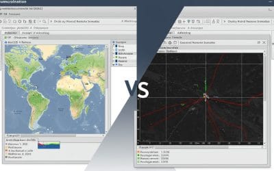
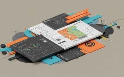
ArcGIS vs QGIS: Navigating the Best Tools for Your Remote Sensing and GIS Needs
Geographic Information Systems (GIS) and remote sensing are transforming how we analyze and visualize spatial data. Whether you're mapping urban sprawl, monitoring deforestation, or planning disaster response, choosing the right GIS tool is critical. Two heavyweights...
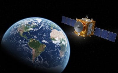
INTRODUCING NISAR: A NEW ERA IN EARTH OBSERVATION
What is NISAR? NISAR (NASA-ISRO Synthetic Aperture Radar) is a groundbreaking Earth-observing mission—a joint collaboration between NASA and India’s ISRO—worth about $1.5 billion. This dual-frequency radar satellite is designed to detect minute changes in Earth’s...
INTRODUCTION TO QGIS – Series 1
Geographic Information Systems (GIS) have become essential to how we understand places, people, and patterns whether it’s for mapping population data, analyzing environmental change, planning infrastructure, or responding to disasters. For many organizations, however,...
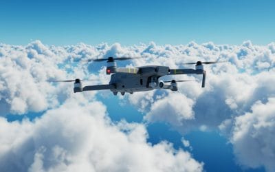
How to Keep Your Drones Flying High: The Ultimate Guide to Drone Care and Performance
Drones have become indispensable tools across industries, from capturing aerial imagery for GIS mapping to monitoring crops in precision agriculture and inspecting hard-to-reach infrastructure. But like any high-tech equipment, drones require regular care to perform...
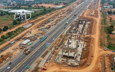
How Drone-Based Remote Sensing Enhances Site Supervision in Nigeria
Efficient site supervision is the backbone of every successful construction project—especially in a fast-developing country like Nigeria, where infrastructure growth is racing to keep up with urbanisation, population growth, and shifting climate demands. From Lagos to...
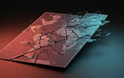
The Ethics of Disaster Mapping: Privacy, Consent, and Accuracy
In an era where drones soar, satellites capture, and algorithms analyze at lightning speed, disaster mapping has never been more powerful or more ethically complex. Geospatial technologies have revolutionized the way we respond to disasters. Real-time flood maps,...
Getting Started with Blender: The Free Tool Powering 3D Creativity
In the world of 3D graphics, animation, and digital design, Blender stands out as a powerful and free open-source tool that has transformed how artists, developers, and creators bring their ideas to life. Whether you're building animated films, game assets,...
CONTACT US