404
Oops!, that page can’t be found.
There are other options that might interest you below
Oops!, that page can’t be found.
There are other options that might interest you below
Search Results

The Case for Expanding Your GIS Toolbox Beyond ArcGIS
In the world of Geographic Information Systems (GIS), ArcGIS has long been the industry giant — powerful, well-documented, and widely taught in schools and workplaces. For many professionals, it’s the first GIS software they ever used, and for some, it’s the only one...

Fly Smart, Fly Legal: Mastering Commercial Drone Regulations
Imagine the crisp Lagos air beneath your drone, capturing stunning aerial views of the Lekki-Ikoyi Bridge or surveying the bustling marketplaces of Ojuelegba. The possibilities with commercial drones in Nigeria are exhilarating, offering unprecedented perspectives and...
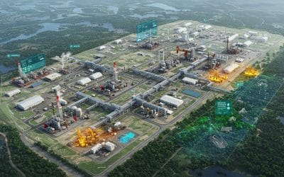
Harnessing GIS for Environmental Impact Assessment in the Oil, Gas, and Energy Sector.
The oil, gas, and energy industries are central to global development—but they also pose significant environmental challenges. To strike a balance between energy demand and environmental protection, Geographic Information Systems (GIS) have emerged as powerful tools...
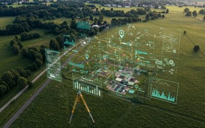
Why Modern Land Surveying Needs GIS: Unlocking Smarter Decisions
In today’s rapidly developing world, accurate information about the Earth’s surface is more valuable than ever. From planning new roads and bridges to managing urban expansion or protecting natural resources, one thing remains constant: the need for reliable,...
Georeferencing and Digitizing in QGIS – Series 4
Many valuable maps and spatial records still exist as scanned images. Examples are historical plans, paper-based surveys, architectural layouts e.t.c. While informative, these images are not yet usable within a GIS environment until they’re spatially referenced and...
GIS: Your Secret Weapon Against Climate Change
The alarm bells are ringing louder than ever. From scorching heatwaves and devastating floods to relentless droughts and rising sea levels, the impacts of climate change are no longer distant threats – they are a stark reality reshaping our world. But what if we told...

ARCGIS MODELBUILDER: Automating Spatial Workflows
Model Builder is a visual programming tool in ArcGIS Pro (and earlier ArcMap) that lets GIS analysts and students create, automate, and share complex geoprocessing workflows without writing code. At its core, Model Builder works like a flowchart: you connect tools...
Working with Vector Data in QGIS – Series 3
Introduction In the previous post, we successfully loaded and visualized spatial data in QGIS. Now, it’s time to explore one of the core building blocks of any GIS project — vector data. Whether you're mapping cities, drawing roads, or analyzing boundaries,...

AI, Automation, and the Decades Ahead
Are Geospatial Experts Becoming Obsolete? What the Future Really Holds for Spatial Professionals In recent years, artificial intelligence (AI) has transformed how we explore and understand our world. Tasks that once took days or weeks—like classifying satellite...
CONTACT US