404
Oops!, that page can’t be found.
There are other options that might interest you below
Oops!, that page can’t be found.
There are other options that might interest you below
Search Results
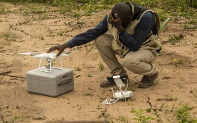
Top 10 Reasons to Become a Certified Drone Pilot in Nigeria
The use of drones, officially known as Unmanned Aerial Vehicles (UAVs), is expanding rapidly across Nigeria. From land surveying and agriculture to construction, oil and gas, security, and media production, drone technology has become a critical tool for data...
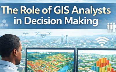
From Data to Decisions: The Role of GIS Analysts in Modern Organizations
Organizations today generate vast amounts of data from population records, infrastructure systems, environmental monitoring, customer interactions, and sensor networks. The challenge is no longer data availability but converting data into insights that support...

Empowering the Future: How GeoinfoAcademy is Training the Next Generation of Geospatial Professionals
Introduction Geospatial data has become a critical resource in today’s data-driven economy. From urban planning and agriculture to infrastructure development, environmental monitoring, and disaster management, spatial intelligence now underpins informed...
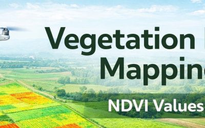
Vegetation Index Mapping: Concept, Methods, and Applications
Vegetation index mapping is a core technique in remote sensing and GIS used to assess vegetation health, density, and spatial distribution over time. By transforming multispectral imagery into numerical indices, this method allows analysts to evaluate vegetation...
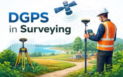
Differential GPS (DGPS) in Surveying: Accuracy, Applications, and Benefits
Accuracy is a core requirement in surveying and geospatial data production. Boundary definition, infrastructure planning, and mapping workflows depend on reliable coordinate positioning. Differential GPS, commonly referred to as DGPS, is designed to improve standard...

How Drone Mapping Is Transforming Surveying in Africa (2025 Guide)
Drone mapping is rapidly becoming one of the most transformative tools in the African surveying and geospatial sector. From land administration to agriculture, mining, engineering and environmental monitoring, unmanned aerial vehicles are helping surveyors capture...

Environmental Management: Concepts, Objectives, Principles & Components
1. Concept of Environmental Management Environmental management refers to the systematic and interdisciplinary approach used to regulate, protect, and sustainably utilize environmental resources while minimizing the negative impacts of human activities on natural...

Industries Benefiting from GIS and Drone Technology
Introduction Geographic Information Systems (GIS) and drone technology now drive innovation across multiple industries. These tools provide location-based intelligence that improves planning, monitoring, safety, logistics, and resource management. By capturing...

Applications of Thermal Imaging and Inspection
Introduction Thermal imaging and inspection have become essential in nondestructive testing (NDT) for modern industries. This technology detects heat variations in equipment, structures, and environments without physical contact. By identifying abnormalities through...
CONTACT US