3D Laser Scanning: The Future of Measurement
Welcome to the future of surveying and measurement. Geoinfotech uses **3D laser scanning**, a non-contact, high-speed technology, to capture the exact shape and size of physical objects, buildings, and landscapes. We capture millions of data points in minutes, creating a 'point cloud'—a perfect digital dataset of your project.


Key Benefits of 3D Laser Scanning
Ready to bring unparalleled accuracy and efficiency to your next project? Our scanning process ensures you capture comprehensive, detailed data with minimal site disruption.
Unmatched Accuracy
Capture complex details with millimeter precision, significantly reducing human error.
Save Time and Money
Drastically cut down on site visit time, future return trips, and dispute resolution time.
Enhanced Safety
Scan hazardous, hard-to-reach, or operational areas from a safe distance.
Clash Detection
Identify design conflicts or potential clashes before construction begins, preventing costly rework.
Our Deliverables and Applications
We transform the raw point cloud data into actionable deliverables tailored to your specific needs, supporting key applications in architecture, construction, and engineering.
2D Drawings & Elevations
Highly detailed 2D drawings and elevations suitable for use in CAD software.
3D BIM Models
Accurate Building Information Modeling (BIM) models for integrated design and construction.
Architecture and Construction
Used for as-built documentation, renovation planning, progress monitoring, and facade surveys.
Engineering and Industrial
Ideal for plant design, pipeline routing, structural analysis, and reverse engineering.
Interactive Visualizations
Interactive 3D visualizations, virtual tours, and precise volume calculations.

WHAT WE OFFER
Our Portfolio
Check out our previous projects on GIS, Drone, Land Surveyor and Mapping Services in Nigeria

Drone Training for Corporate Security - Sahara Group
Drone category, Drone operation and mapping, Geographic Information System (GIS) category, GIS and Remote sensing, Organisation Training, Training and Workshop
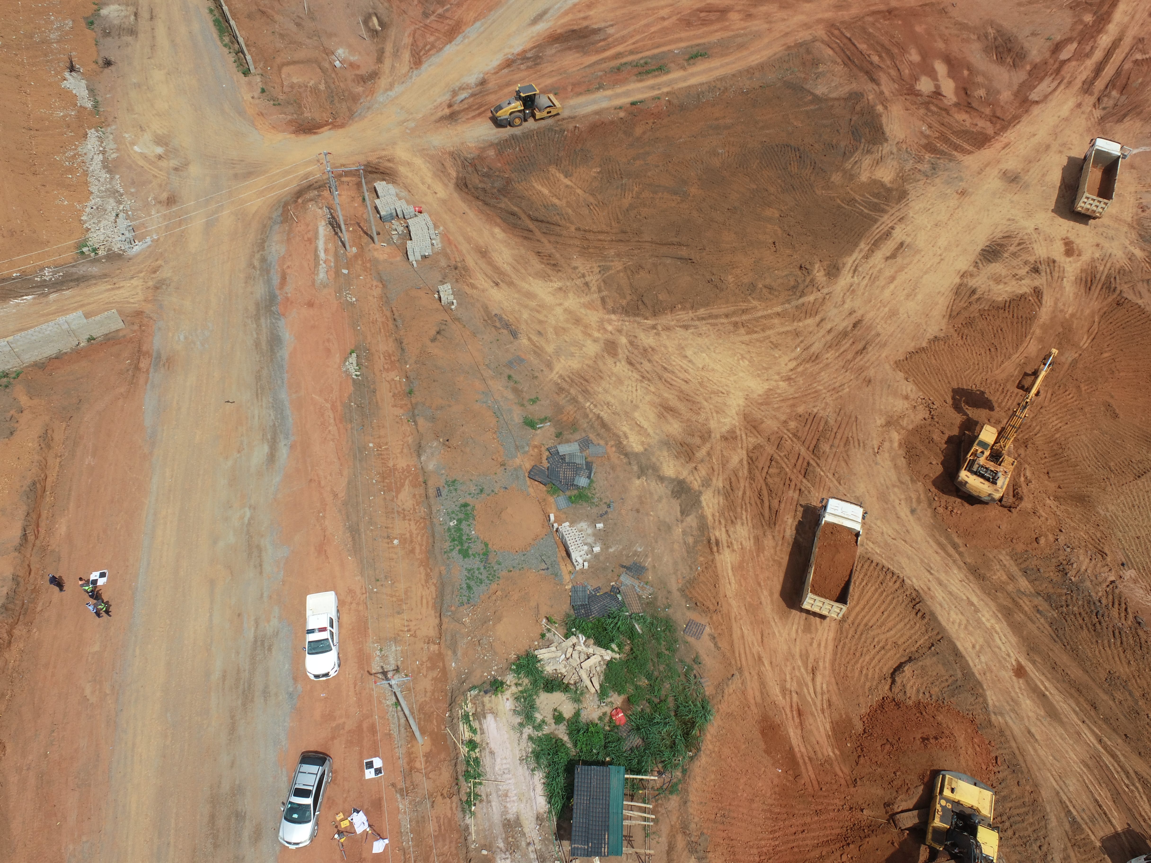
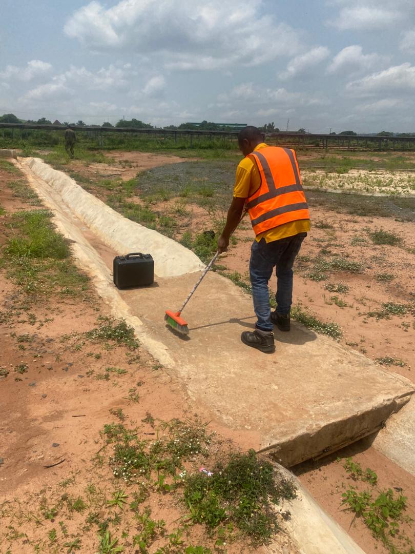
Aerial Survey & Mapping - Ogun State
Drone category, Drone operation and mapping, Geographic Information System (GIS) category, GIS and Remote sensing, Surveying
Thermal Drone Inspection - Enugu Solar Site
Drone category, Drone operation and mapping, GIS and Remote sensing, Surveying