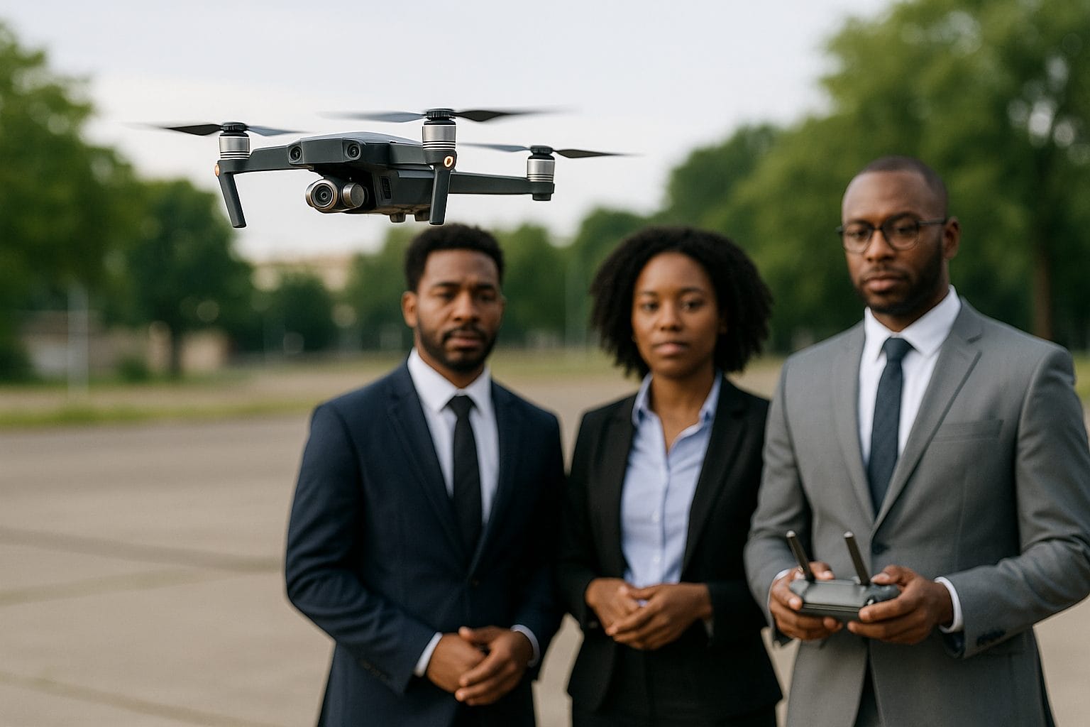
Leading Drone Company in Nigeria
Professional Drone Services & Sales by GeoInfotech
From aerial surveys to environmental monitoring, we deliver drone solutions that power Nigeria future.
Who we are ?
At GeoInfotech Resources Nigeria Ltd, we don’t just provide drones—we deliver solutions. We bring legal compliance, technical precision, and deep sectoral knowledge to every client we serve.
NCAA-Licensed & Insured
GeoInfotech’s operations are fully approved and insured, giving clients total peace of mind on compliance, safety, and data integrity.
Wide Range of Services
Aerial data capture, GIS analysis, real-time monitoring, training, and equipment sales, ensuring our clients get everything they need in one place.
Expert Team
Certified pilots, GIS analysts, remote sensing specialists, and technical support engineers, Our team are the best you can ask for
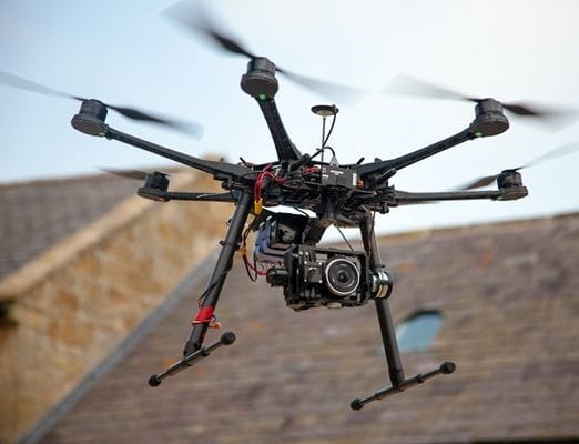
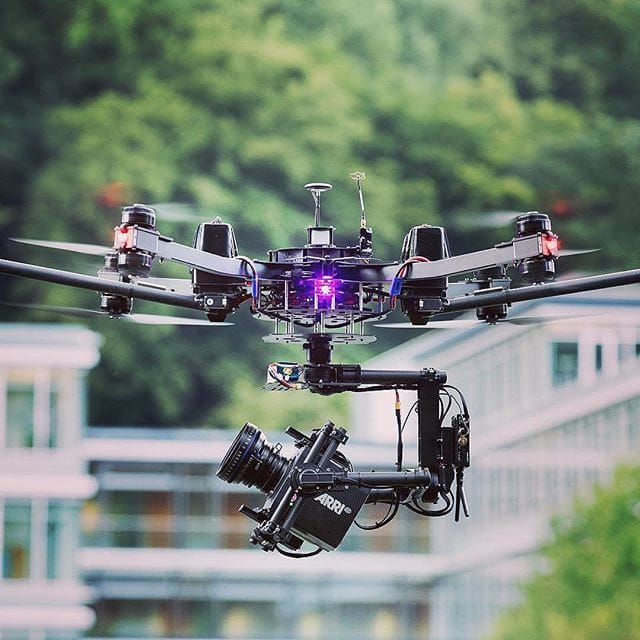
Latest Drone Technology
Modern fleet including DJI Matrice, Mavic, Phantom, Mini, and fixed-wing RTK drones, equipped with LiDAR, thermal, multispectral, and high-res RGB sensors.
Our Professional Drone Services
High-Resolution Aerial Surveying
We offer comprehensive geospatial solutions including topographic mapping, contour lines, elevation models (DTM/DSM), and georeferenced orthophotos. Our services also encompass volumetric analysis for mines and quarries, with applications spanning land development, urban expansion, infrastructure design, and smart city planning.
Drone Inspections
We provide drone inspection services for critical infrastructure, including oil & gas pipelines, power transmission lines, cell towers, bridges & rooftops, and solar farms. Our drone technology reduces downtime, lowers risk, and offers enhanced insights through thermal imaging, zoom cameras, and real-time feeds.

Construction Site Monitoring
We empower construction firms with progress documentation, stockpile measurements, and 3D building models. Our services also facilitate dispute resolution through visual timelines, ultimately enhancing contractor accountability, optimizing timeline planning, and improving stakeholder communication.

Agricultural Drone Services
We offer farmers and agri-tech stakeholders key services like NDVI-based crop health analysis, farm boundary mapping, aerial spraying (via partners), and soil variability and yield mapping. These boost productivity, cut costs, and enable precision agriculture.

Environmental Monitoring & Emergency Response
We partner with NGOs and government agencies for drone-based monitoring of wetlands, forests, desertification, and erosion. We also perform post-disaster assessments and map flood zones/evacuation routes. This provides fast, safe, and scalable data for climate action and community resilience.

Real Estate & Property Development
We help real estate companies by providing property visualization, 3D architectural models, site layout planning, and marketing visuals for sales. Our services give buyers a bird's-eye view of properties, helping you stand out in a competitive market.
Get The Right UAV For Your Mission
Geo Infotech is a trusted reseller and consultant for commercial and professional drone systems. We offer
On Sales
Every purchase includes

Professional Drone Training in Nigeria
Get certified with Nigeria’s top UAV training provider. We train individuals and organizations
Drone operation & safety protocols
NCAA regulations & airspace rules
Automated flight planning
Software tools: Pix4D, DroneDeploy, DJI Pilot, QGIS
Field practice with hands-on flights
Why We Rank Online
When people search “Leading drone company in Nigeria” or “Drone services & drone sales in Lagos,” they find us first—and here’s why
We don’t just offer services—we build a digital presence that reflects our excellence.

What Our Clients Say ?
See what our satisfied clients have to say! They consistently value our professionalism, quality results, and ability to deliver exactly what they need from the sky.
Survey Firm, Abuja
GeoInfotech has transformed how we conduct topographic surveys. The speed, accuracy, and professionalism are unmatched.”
Engineering Manager, Lagos
“From training to drone procurement and site monitoring, GeoInfotech has been an invaluable partner to our construction firm.”
NGO Director, Port Harcourt
“We use their drone services for environmental research in the Niger Delta. Their team is responsive, ethical, and highly skilled.”
Choose a Drone Partner that Delivers
GeoInfotech is Nigeria's top drone company and your strategic partner. We offer licensed expertise for drone sales, surveys, inspections, and training, ensuring your project soars.
