A Summary of the Flooding Incident at Mokwa On May 29, 2024, a devastating flash flood...


YOU MAY ALSO LIKE...
A Summary of the Flooding Incident at Mokwa On May 29, 2024, a devastating flash flood...

A Summary of the Flooding Incident at Mokwa On May 29, 2024, a devastating flash flood struck...
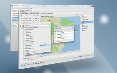
In our first post, we explored what QGIS is, why it matters, and how organizations use it for...

When we talk about “smart cities,” we often imagine self-driving cars, intelligent traffic lights,...
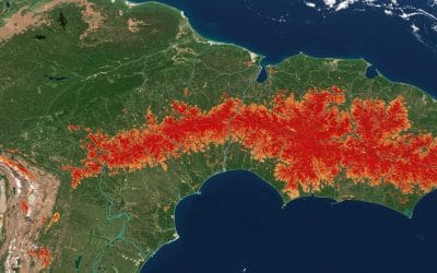
Forests are among Earth’s most vital ecosystems, but they’re vanishing at an alarming rate. From...

Digital Depth Model of a part of imo river in Akwa ibom State, Nigeria. In the vast world of...