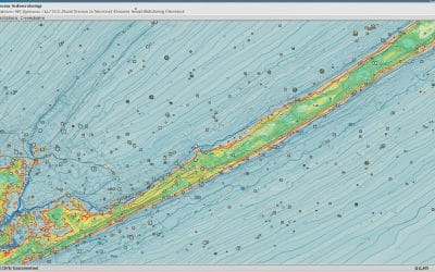
Introduction In the previous post, we successfully loaded and visualized spatial data in QGIS....
Drone Service
YOU MAY ALSO LIKE...
AI, Automation, and the Decades Ahead
Are Geospatial Experts Becoming Obsolete? What the Future Really Holds for Spatial Professionals...
Drones in Disaster Response and Recovery: Revolutionizing Crisis Management
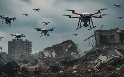
When disaster strikes—whether it’s a hurricane, earthquake, or wildfire—every second counts....
Remote Sensing and Gis for Mineral Exploration
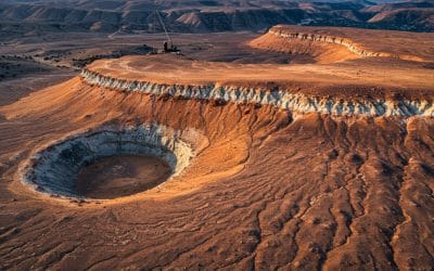
Discovering Hidden Treasures Beneath the Surface with Spatial Intelligence The quest for mineral...
The Interrelationship of Surveying, Geospatial Analysis, and Drone Technology.
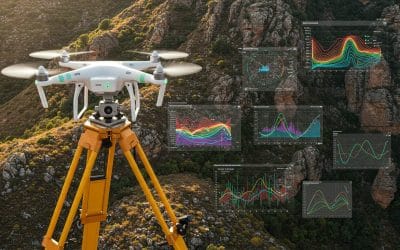
In an era where location data has become central to decision-making, infrastructure planning, and...
Topology in GIS: Beyond Geometry — Understanding Spatial Relationships
In the world of Geographic Information Systems (GIS), geometry may be the star of the show—but...


