In the world of Geographic Information Systems (GIS), ArcGIS has long been the industry giant —...


YOU MAY ALSO LIKE...
In the world of Geographic Information Systems (GIS), ArcGIS has long been the industry giant —...
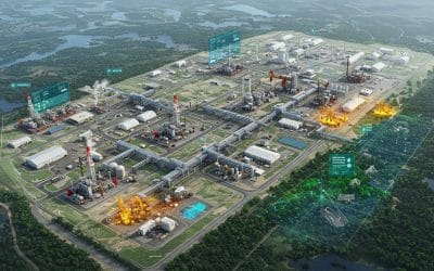
The oil, gas, and energy industries are central to global development—but they also pose...
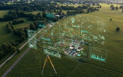
In today’s rapidly developing world, accurate information about the Earth’s surface is more...
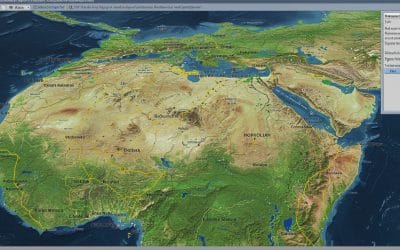
Many valuable maps and spatial records still exist as scanned images. Examples are historical...
The alarm bells are ringing louder than ever. From scorching heatwaves and devastating floods to...

Model Builder is a visual programming tool in ArcGIS Pro (and earlier ArcMap) that lets GIS...