In the age of big data and global health challenges, public health professionals are increasingly...


YOU MAY ALSO LIKE...
In the age of big data and global health challenges, public health professionals are increasingly...

We've all been there: relying on our smartphones to navigate to a new restaurant, find the...

In a nation as dynamic and geographically diverse as Nigeria, ensuring security across rural,...

Using Spatial Intelligence to Save Lives in Real Time. In critical moments when disaster...

In a world overflowing with data and facing increasingly complex challenges — from climate change...
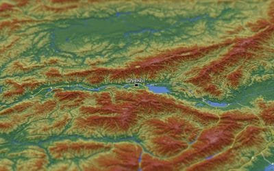
Raster data forms a core part of spatial analysis from satellite imagery to digital elevation...