Accurate land records are the foundation of effective governance, property rights, and sustainable...


YOU MAY ALSO LIKE...
Accurate land records are the foundation of effective governance, property rights, and sustainable...
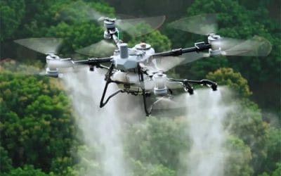
In the past, farming relied heavily on manual labour, observational experience, and...
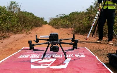
What is Drone Mapping? Drone mapping in Nigeria involves using a drone equipped with a...
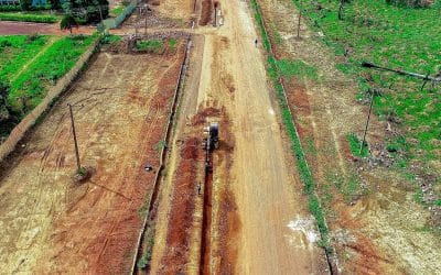
If you’ve ever seen a new building rise, a road being constructed, or farmland divided for sale, a...

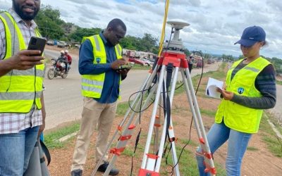
What is Drone Mapping and Survey & how is it used in Nigeria? Drone mapping involves using a...

In today’s rapidly urbanizing world, the challenges of managing solid waste and controlling urban...