In today’s world, information is more powerful when it’s tied to a location. That’s exactly what...


YOU MAY ALSO LIKE...
In today’s world, information is more powerful when it’s tied to a location. That’s exactly what...

1. Introduction Surveying and mining are precision-driven industries where accuracy, efficiency,...

Are you ready to unlock the synergy between software development and GIS workflows? Geoinfo...
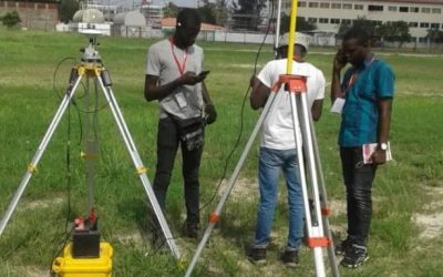
Land surveying is the scientific and systematic process of measuring and mapping the physical...
Introduction: Seeing Nigeria from a New Angle Have you ever noticed how looking at something from...

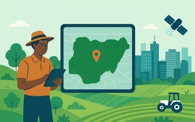
GIS in agriculture in Nigeria is transforming how farmers manage land, crops, and resources. By...