
The fast growth of drone technology has created many new opportunities in different fields like farming, construction, and environmental monitoring. But, understanding the details of drone technology, rules, and uses can be difficult. If you need help with operating drones, analyzing data, following regulations, or integrating technology, getting advice from a specialized drone company can be very helpful.
Geoinfotech Resources Limited has established itself as a significant force in the industry, driving advancements and shaping the future of drone technology in Nigeria.
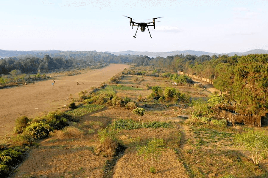
Drone Mapping
At Geoinfotech, an aerial surveying company leader in Nigeria. We capture, analyze, and map aerial data quickly and more cost-effectively in Nigeria with leading Drone tech to help industry professionals transform real-world scenarios into digital assets.
From mission planning to data acquisition, area mapping and inspection and then, data analysis.
Areas of specialization:
- Land Surveying:
- Real-time mapping: Quickly generate a 2D orthomosaic of the selected area in real-time. Not only do we create detailed flight paths in remote areas but we also do time-sensitive missions that require quick decision-making on site
- 2D- Reconstruction: We generate high-resolution orthomosaics enabling you to get detailed and accurate measurement results for all your critical projects.
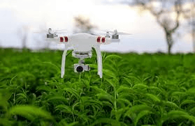
- 2D and 3D Multispectral Reconstruction: We Process multispectral images to generate vegetation index maps including NDVI and NDRE. Create prescription maps for variable rate applications using DJI’s Agras drones to improve crop yields while driving down costs.
2. Agriculture: We enhance your crop offering with precise aerial data. We verify your services pre- and post-treatment applications Acquire key dimensions across an array of terrains with analysis tools that enable you to obtain a variety of measurement data based on linear, area, and volumetric measurements.
3. Training and Workshops: Our training program is designed to help you succeed in this exciting and rapidly evolving field. Some of the courses offered are drone pilot training for beginners, drone pilot training from beginner to professional etc.
4. Telecommunication
5. Construction.
6. Mining
7. Drone marketers.
You can look up our projects on drone and mapping on our website Projects – Geoinfotech
Conclusion
By partnering with the right consultant, you can ensure that your drone operations are safe, compliant, and optimized for your specific industry needs. Whether you’re just starting with drones or looking to expand your existing operations, Geoinfotech Resources Limited can provide the support and solutions you need to succeed in the rapidly evolving world of drone technology.