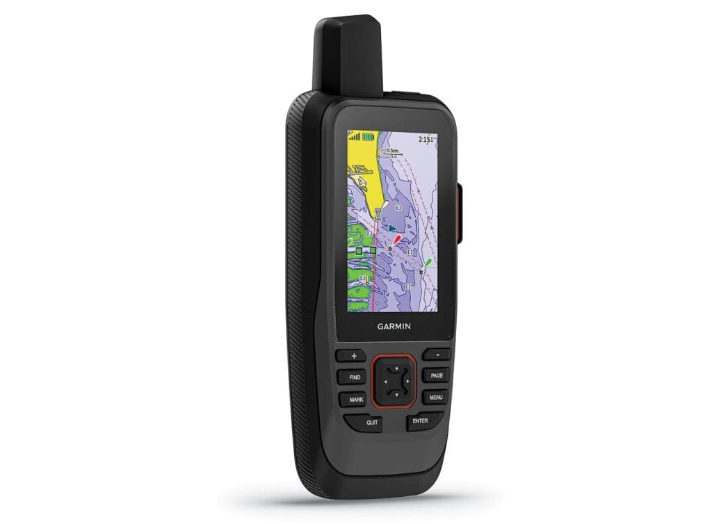
For Nigeria’s mariners, fishermen, and coastal explorers, the Garmin GPSMAP 86sc, priced at ₦530,000, is a premium marine GPS handheld that redefines navigation on the water. Preloaded with BlueChart g3 coastal charts and equipped with advanced connectivity, this rugged, floating device ensures precise tracking and seamless integration for boating, fishing, and environmental missions along Nigeria’s waterways.

Premium Marine Navigation
The GPSMAP 86sc is packed with features for marine excellence:
- Preloaded BlueChart g3 Charts: Delivers industry-leading coastal mapping with integrated Garmin and Navionics data, covering Nigeria’s Atlantic coast, Lagos ports, and Niger Delta channels, including 1-foot contours for enhanced detail.
- Multi-GNSS Support: Utilizes GPS, GLONASS, Galileo, and SBAS for reliable positioning in challenging environments like dense mangroves or open seas.
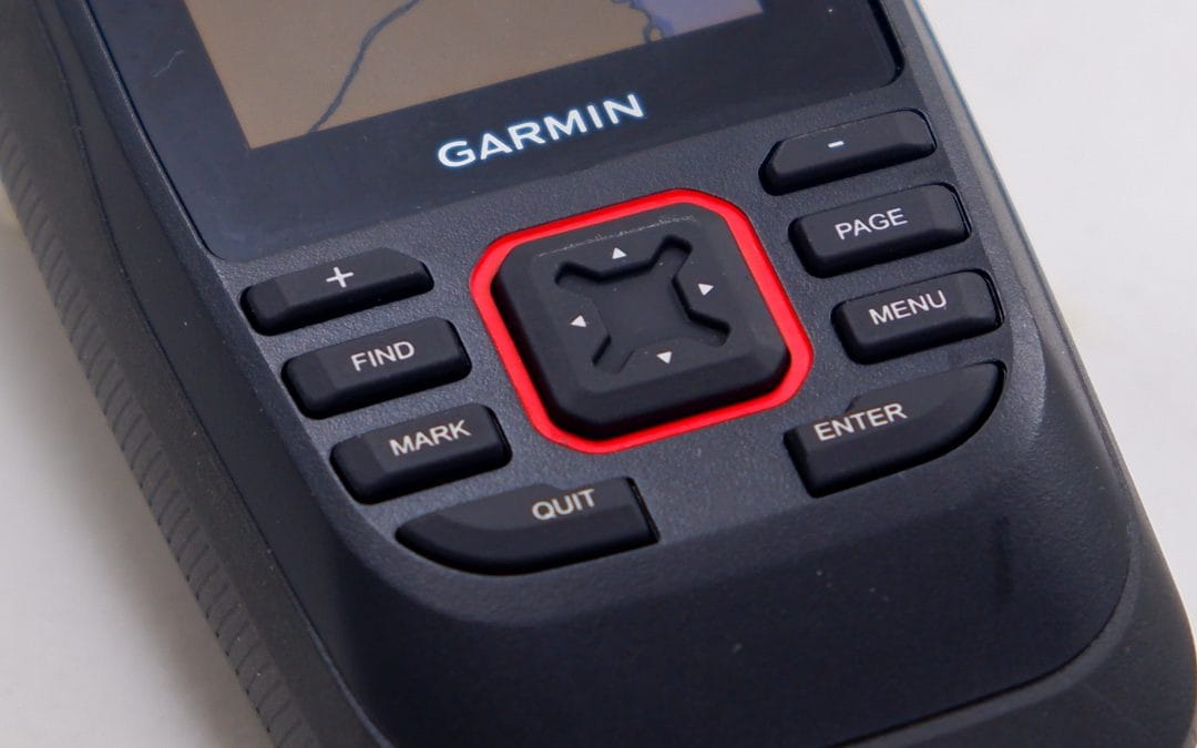
- 3-Inch Sunlight-Readable Display: A high-resolution, fogproof color screen ensures clear visibility under Nigeria’s bright tropical sun.
- Chartplotter Connectivity: Streams real-time boat data (e.g., depth, heading, sea temperature) from compatible Garmin chartplotters, enhancing situational awareness.
With Wi-Fi, ANT+, and Bluetooth connectivity, the 86sc pairs with smartphones or Garmin devices for smart notifications and data sharing via the Garmin Explore app.
Tailored for Nigeria’s Marine Needs
The GPSMAP 86sc supports Nigeria’s diverse aquatic activities:
- Fishing and Aquaculture: Pinpoint prime fishing grounds off Escravos or Calabar with 10,000 waypoints and 250 routes, maximizing efficiency for local fishermen.
- Coastal Navigation: Safely navigate busy ports like Tin Can Island or intricate rivers like the Cross River, using detailed charts and obstacle detection.
- Environmental Monitoring: Map coastal erosion or monitor marine ecosystems in the Niger Delta, supporting conservation with precise location data.
- Recreational Boating: Explore Nigeria’s scenic lagoons in Badagry or creeks in Bayelsa with confidence, even in rough seas or low visibility.
IPX7 water resistance, a floating design, and up to 40 hours of battery life (rechargeable lithium, standard mode) ensure reliability in Nigeria’s humid, salty, and unpredictable marine conditions.

Advanced Features for Effortless Operation
The 86sc enhances navigation with:
- Wireless Data Sharing: Sync waypoints, tracks, and routes with other Garmin devices for seamless team coordination.
- Remote Control: Operate Garmin autopilots or select FUSION marine stereos directly from the handheld, streamlining boat management.
- Connect IQ Support: Customize with free apps and widgets via the Connect IQ platform for tailored functionality.
- Rugged Build: Withstands Nigeria’s coastal challenges, from salty spray to heavy rains, ensuring long-term durability.
Invest in Marine Precision
At ₦530,000, the Garmin GPSMAP 86sc is a valuable tool for Nigerian mariners seeking top-tier navigation and connectivity. Its advanced features and coastal charts deliver safety and efficiency on every voyage.
Order Yours Today
Ready to navigate with precision?