Elevate Precision Mapping with the DJI Zenmuse L2: Now Available in Nigeria for ₦19,350,000
Nigeria’s geospatial and industrial sectors demand precision and efficiency in data collection. The DJI Zenmuse L2, priced at ₦19,350,000, is a state-of-the-art LiDAR and RGB payload for the DJI Matrice 300/350 RTK, revolutionizing aerial surveying and mapping. With its advanced technology, this payload delivers high-accuracy 3D data, empowering professionals in land surveying, forestry, and infrastructure management to achieve unparalleled results.
Cutting-Edge LiDAR and RGB Technology
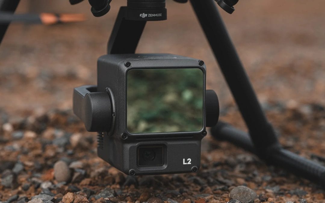
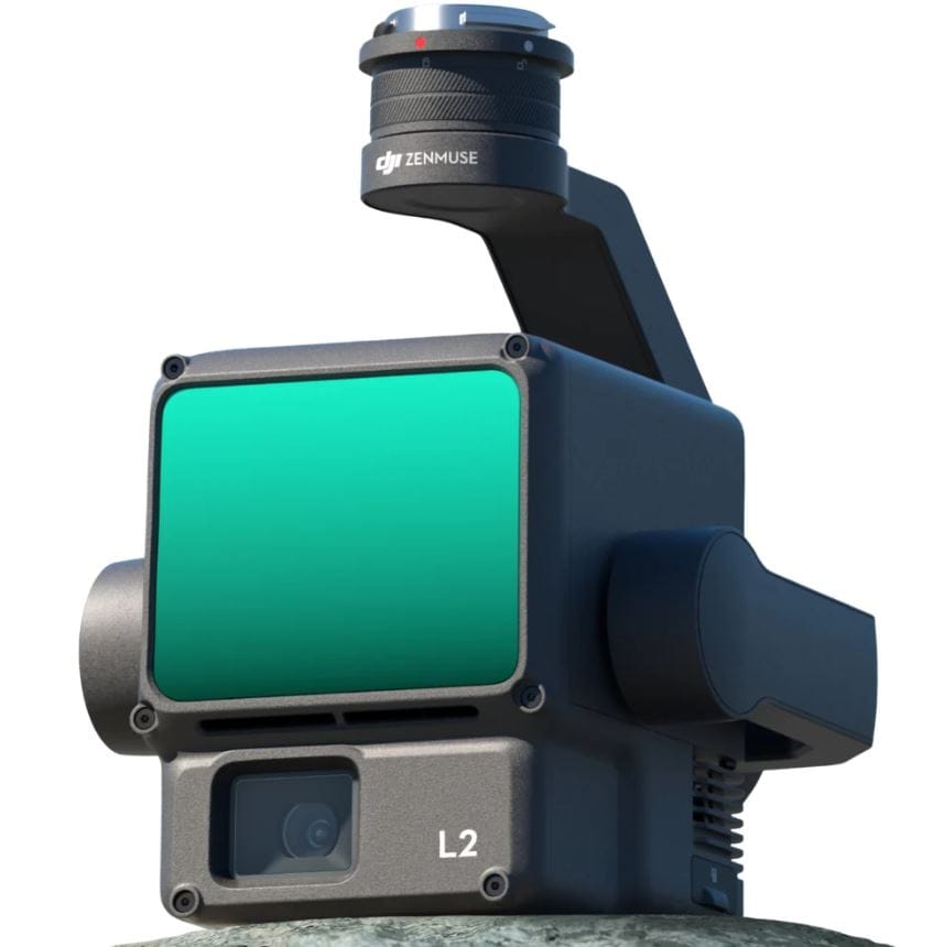
The Zenmuse L2 integrates a frame-based LiDAR, a high-accuracy IMU, and a 4/3 CMOS RGB mapping camera, offering:
- High-Density Point Clouds: Captures up to 240,000 points per second in single-return mode and 1,200,000 in multiple-return mode, ideal for detailed 3D models.
- Enhanced Detection Range: Detects objects from 250m (10% reflectivity, 100 klx) to 450m (50% reflectivity, 0 klx), ensuring coverage in diverse conditions.
- 20MP RGB Camera: With a 3.3μm pixel size and 0.7-second photo interval, it delivers vibrant true-color point clouds and visible-light mapping.
- Superior Penetration: A reduced 4x12cm spot size at 100m penetrates dense vegetation, capturing ground points for accurate digital elevation models (DEMs).
With vertical accuracy of 4cm and horizontal accuracy of 5cm at 150m, the L2 sets a new standard for precision.
Tailored for Nigeria’s Geospatial Needs
The Zenmuse L2 is designed for Nigeria’s diverse industries:
- Land Surveying and Mapping: Rapidly map large areas like urban Lagos or rural Niger State, generating accurate topographic surveys and DEMs for urban planning.
- Forestry and Environmental Monitoring: Analyze Nigeria’s forests, such as Cross River or Ondo, with detailed canopy and ground data, supporting conservation and management.
- Infrastructure Management: Inspect powerlines, pipelines, or bridges in the Niger Delta, detecting structural issues with high-resolution point clouds.
- Flood Risk Mapping: Create precise elevation models for flood-prone areas like Mokwa, enhancing disaster preparedness with geospatial insights.
Its IP54 rating and robust design ensure reliability in Nigeria’s humid, dusty, or hot environments, from coastal to northern regions.
Streamlined Workflow and Smart Features
The L2 enhances efficiency with:
- Two Scanning Modes: Repetitive mode for uniform point clouds and non-repetitive mode for deeper foliage penetration, ideal for varied tasks.
- DJI Terra Integration: One-click processing generates 3D point clouds, DEMs, and task quality reports, simplifying post-processing.
- Real-Time Monitoring: DJI Pilot 2’s RGB, point cloud, and side-by-side display modes provide intuitive control during missions.
- No Warm-Up Needed: The high-accuracy IMU is ready upon power-on, boosting field productivity.
Invest in Geospatial Excellence
At ₦19,350,000, the Zenmuse L2 is a powerful investment for Nigerian professionals seeking to elevate their mapping capabilities. Paired with the Matrice 300/350 RTK, it delivers rapid returns through enhanced accuracy and efficiency.
Order Yours Today
Ready to transform your geospatial operations?