
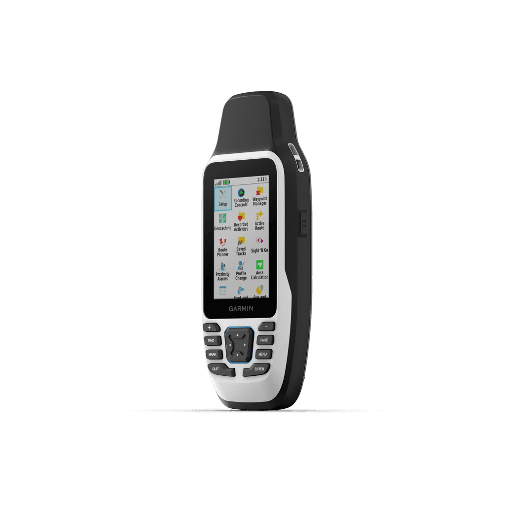
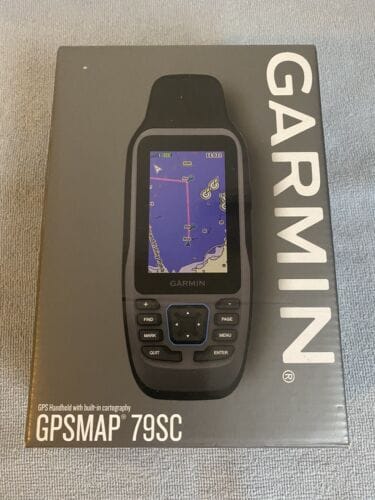
The Garmin GPSMAP 79sc, priced at ₦500,000, is a rugged, floating marine GPS handheld designed for life on the water. Preloaded with BlueChart g3 coastal charts and packed with advanced features, this device ensures precise tracking and navigation along Nigeria’s vast coastlines and inland waterways.
Built for Marine Adventures
The GPSMAP 79sc is engineered for harsh marine environments:
- Preloaded BlueChart g3 Charts: Offers detailed coastal mapping with integrated Garmin and Navionics data, covering Nigeria’s Atlantic coast, Lagos lagoons, and Niger Delta waterways, including navigational aids, tides, and currents.
- Multi-Constellation Support: Uses GPS, GLONASS, Beidou, Galileo, QZSS, and SBAS for reliable tracking, even in challenging areas like mangrove creeks or open seas.
- 3-Axis Tilt-Compensated Compass: Provides accurate headings, even when your boat is stationary, ideal for anchoring or fishing.
- High-Resolution Display: A 3-inch, sunlight-readable, fogproof, and scratch-resistant color screen ensures clear visibility in bright tropical conditions.
With 10,000 waypoints, 250 routes, and 300 fitness activities storage, plus a microSD slot for extra memory, the 79sc is ready for extended missions.
Tailored for Nigeria’s Waters
The GPSMAP 79sc supports Nigeria’s marine and coastal activities:
- Fishing and Aquaculture: Mark productive fishing spots off Badagry or Bonny, using waypoints to return with precision, boosting yields for local fishermen.
- Coastal Navigation: Safely navigate busy ports like Apapa or winding rivers like the Niger, with detailed charts and obstacle avoidance.
- Environmental Monitoring: Track coastal erosion or mangrove health in the Niger Delta, supporting conservation with accurate location data.
- Recreational Boating: Explore Nigeria’s scenic waterways, from Epe’s lagoons to Calabar’s creeks, with confidence in rough or foggy conditions.
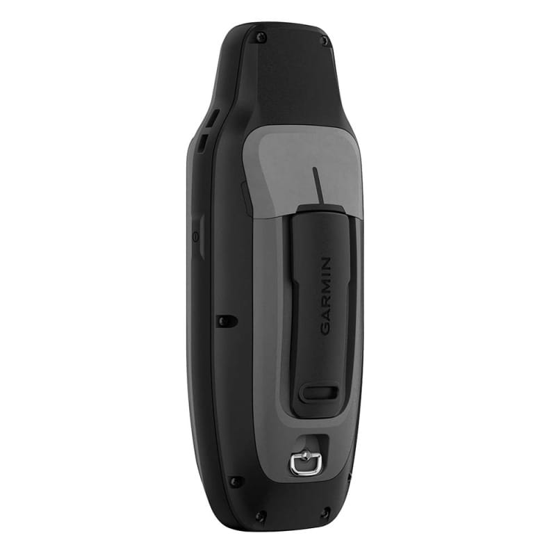
IPX7 water resistance and a floating design ensure durability if dropped overboard, while 19 hours of battery life (AA batteries, not included) supports long days on the water.
Smart Features for Seamless Navigation
The 79sc enhances usability with:
- Increased Memory: Save thousands of waypoints and routes for multi-day trips or seasonal fishing patterns.
- Wireless Sharing: Share waypoints, tracks, and routes with compatible Garmin devices, streamlining team operations.
- Garmin Express Compatibility: Download additional maps for hiking or driving, expanding versatility beyond marine use.
- Rugged Build: Withstands Nigeria’s humid, salty coastal air and rough seas, ensuring long-term reliability.
Invest in Reliable Navigation
At ₦500,000, the Garmin GPSMAP 79sc is a cost-effective solution for Nigerian mariners and adventurers seeking dependable navigation. Its robust features and coastal charts deliver peace of mind and efficiency on the water.
Order Yours Today
Ready to chart your course?
