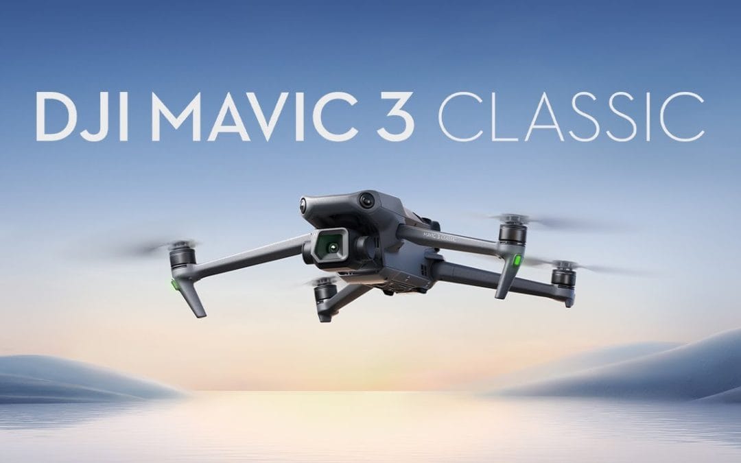
Elevate your drone mapping projects with the DJI Mavic 3 Classic, a flagship drone designed for professional-grade aerial surveying and mapping. Priced at ₦3,150,000, this drone combines a powerful 4/3 CMOS Hasselblad camera, extended flight time, and advanced transmission technology to deliver unmatched precision and efficiency for surveyors, agricultural professionals, and geospatial analysts. Discover how the Mavic 3 Classic can transform your mapping operations.
Features and Benefits
The DJI Mavic 3 Classic is engineered to meet the demands of high-precision drone mapping:
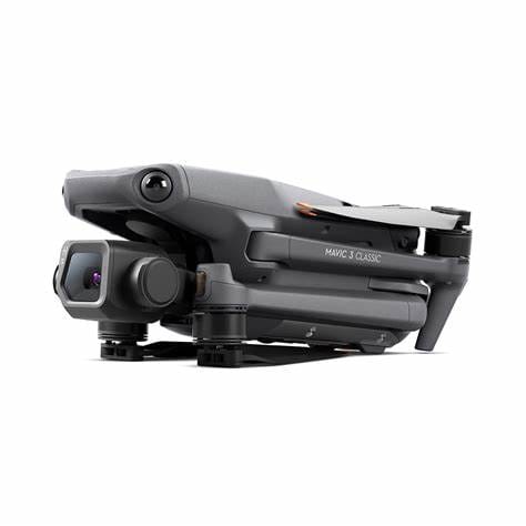
- 4/3 CMOS Hasselblad Camera: Capture vivid, natural colors with exceptional detail, even in low-light conditions. The large sensor supports 5.1K/50fps or 4K/120fps video recording and 20MP stills, ensuring high-resolution data for photogrammetry and 3D modeling.
- 46-Minute Flight Time: With up to 46 minutes of flight time, the Mavic 3 Classic allows you to cover large areas without frequent battery swaps, maximizing productivity during mapping missions.
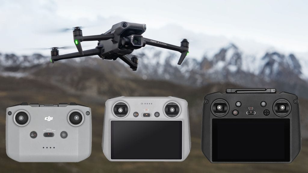
- O3+ Transmission Technology: Enjoy a stable 15km transmission range and 1080p/60fps live feed, enabling real-time monitoring and precise control over long distances, critical for expansive survey sites.
- Omnidirectional Obstacle Sensing: Equipped with multiple vision sensors, the drone detects obstacles in all directions, ensuring safe navigation in complex environments like urban areas or dense forests.
- Advanced Return-to-Home (RTH): The enhanced RTH system plans the safest and most efficient route back to the home point, protecting your investment during low-battery or manual activation scenarios.
- Night Shots Mode: Optimized for low-light environments, this mode delivers cleaner footage, ideal for mapping projects during dawn or dusk.
These features make the Mavic 3 Classic a reliable tool for creating accurate topographic maps, monitoring agricultural fields, and conducting infrastructure inspections.
Use Cases
The DJI Mavic 3 Classic excels in various drone mapping applications:
- Land Surveying: Generate precise 2D maps and 3D models for urban planning, real estate development, or environmental monitoring with high-resolution imagery.
- Agriculture: Monitor crop health, assess irrigation needs, and create detailed field maps to optimize yield and resource management.
- Infrastructure Inspection: Capture detailed visuals of bridges, roads, or pipelines, enabling accurate assessments without costly manual inspections.
- Environmental Conservation: Map forests, wetlands, or coastlines to support conservation efforts and track changes over time.
Whether you’re a surveyor creating detailed orthomosaics or an agronomist analyzing crop data, the Mavic 3 Classic delivers the performance you need.
Contact Us
Ready to revolutionize your drone mapping operations with the DJI Mavic 3 Classic? Contact our team to schedule a demo or place your order today:
- Phone/WhatsApp: +234 816 322 2177 or +234 813 410 1202
- Website: Geostore
As an authorized DJI Enterprise dealer, we offer local repairs, training, and after-sales support, along with fast nationwide shipping and drone compliance assistance.
Why Buy from GeoInfoStore?
- Authorized DJI Enterprise Dealer in Nigeria
- Local repairs, training & after-sales support
- Fast nationwide shipping
- Drone compliance & operational setup assistance
GeoInfoStore is Nigeria’s top drone equipment provider for industrial, commercial, and government use.